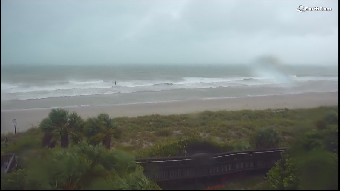
Watch live coverage provided by Earthcam.com on WTOL 11’s YouTube page: Hurricane Ian makes landfall in Port Charlotte, Florida.
TOLEDO, OH – Hurricane Jan strengthened into a powerful Category 4 storm early Wednesday as it neared landfall on Florida’s west coast. Strengthening is expected until the hurricane makes landfall sometime Wednesday.
The major hurricane prompted warnings from Bonita Beach to the Tampa Bay region.
Watch live from Earthcam.com as the storm approaches. This camera is located on Englewood Beach in Port Charlotte, Florida.
Early Wednesday morning, signs of storm strength appeared over the southeastern Gulf of Mexico. It had maximum sustained winds of 140 mph as it moved to the north-northeast at about 10 mph. It is located about 60 miles southwest of Fort Myers.
The center of Ian is expected to move over central Florida Wednesday night and Thursday morning and exit over the western Atlantic by late Thursday.
It could make a second landfall later this week near the Georgia-South Carolina border as a tropical storm.
Regardless of the exact track and point of landfall, the storm surge will be Ian’s most massive impact, especially in southwest Florida. Water levels may rise 8 to 12 feet above ground level from Sarasota south through Bonita Springs.
https://www.wtol.com/article/weather/severe-weather/live-stream-hurricane-ian-landfall-florida-wednesday/512-3cfebb0a-3057-4aeb-9f33-c2b914ae7655


